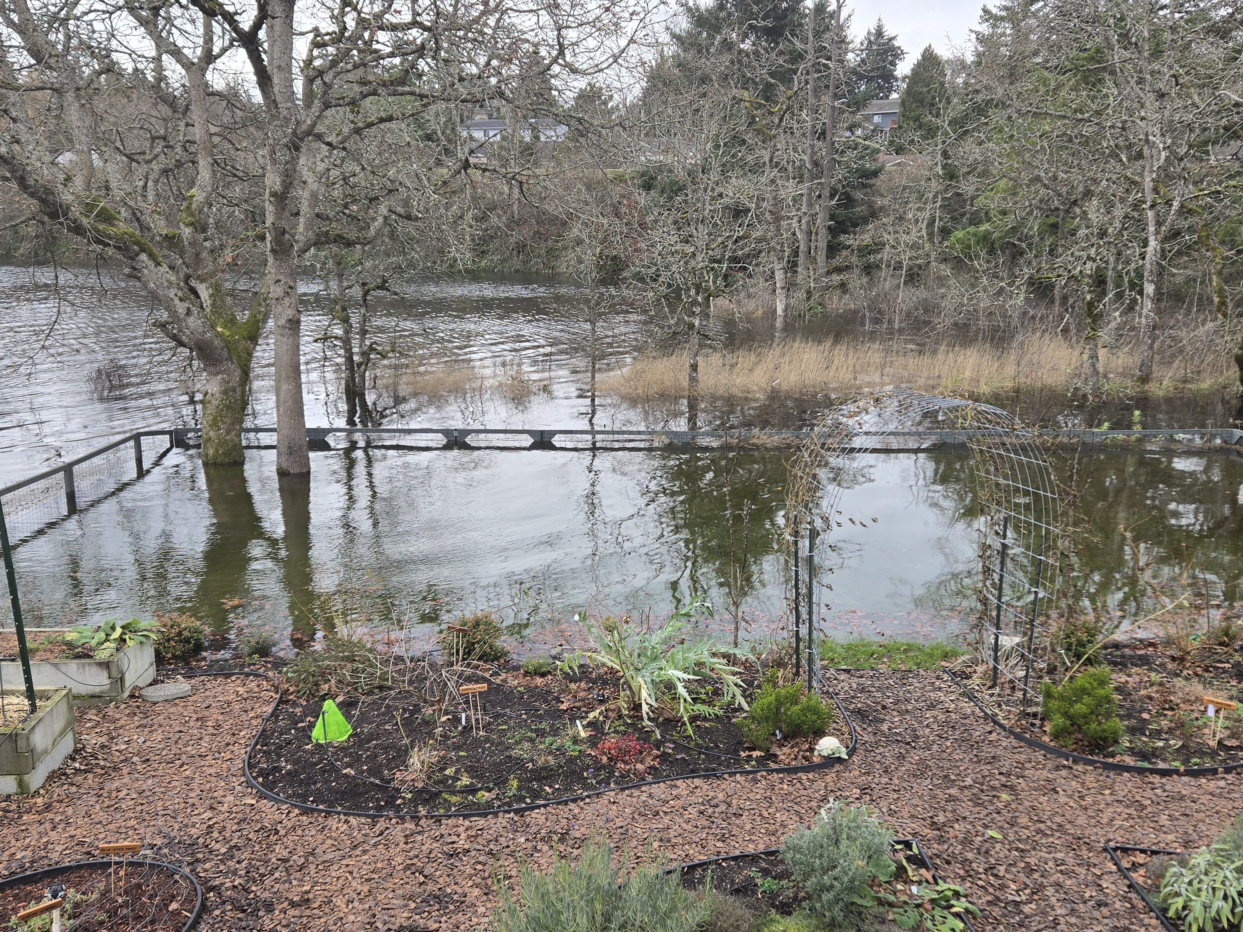
Sea level rise will gradually impact low lying beaches in Saanich, such as the Gorge, Cadboro Bay, and Cordova Bay low lying areas. We are planning for approximately 1 m rise by 2110, taking into account multiple factors such as land lift, tides, wave action and rainfall events.
A regional Coastal Flood Inundation Mapping Project was completed by the CRD in 2021, which included sea level rise (SLR) modelling and mapping. The report found that the CRD is expected to experience:
- 0.5 m SLR increase by the year 2050
- 1 m SLR increase by 2100
- 2 m SLR increase by 2200
As sea levels rise, coastal buildings, infrastructure, parks and other shoreline land uses will experience more flooding and, in some cases, permanent inundation.
Greening shorelines by increasing the amount of permeable surfaces through naturescaping can absorb excess water, protect infrastructure and reduce erosion. Implementing proper grading and drainage can help water direct towards designated drainage areas, and elevating structures, as well as critical electrical and mechanical systems above flood levels can protect your home.
Flood Adaptation Strategies
The Gorge and Portage inlet have been identified as particularily vulnerable to sea-level rise due to being located in low-lying areas with high population density.
The Gorge Coastal Flood Adaptation Strategy is a collaboration between the City of Victoria, Esquimalt, Saanich and View Royal, with support from the Capital Regional District and provincial funding. This project aims to increase public awareness of sea level rise, and includes a risk assessment, public engagement and the identification and prioritization of shoreline measures to increase the resiliency of this area.
The final adaptation strategy is expected to be completed in late 2026.