Saanich Data Catalogue
We've made the Saanich data catalogue available for you to freely search, download and connect to data.
We provide this in accordance with the British Columbia Freedom of Information and Privacy Act. It is subject to the terms of this Data Licence [PDF - 239 KB].
This licence is based on Version 2 of the Open Government Licence - British Columbia.
If you wish to view and query spatial information, please use SaanichMap.
| DATASET | FORMAT | ||||
| CSV | DWG | GDB | SHP | ||
 |
Address Civic address point locations |
CSV | DWG | GDB | SHP |
 |
Buildings Permanent building rooflines View the Metadata |
DWG | GDB | SHP | |
 |
Community Association Independent groups guided under the Societies Act |
DWG | GDB | SHP | |
 |
Contours 1 metre increment elevation lines View the Metadata |
DWG | GDB | SHP | |
 |
Drainage Basin Boundary Area from which all precipitation flows to a single stream or set of streams |
DWG | GDB | SHP | |
 |
Facilities Municipal operation centres (hall, public works, police, fire, hospital, library) View the Metadata |
CSV | DWG | GDB | SHP |
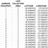 |
Garbage Collection Greener Garbage Pickup and Leaf Collection Areas View the Metadata |
CSV | |||
 |
Legal Legal information for property, lot, block, section or plan View the Metadata |
DWG | GDB | SHP | |
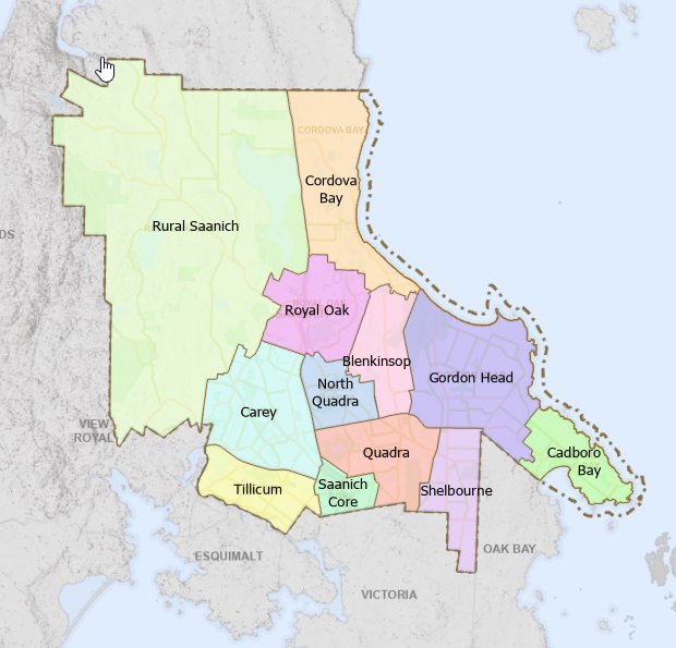 |
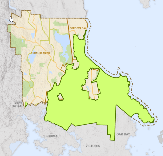
Local Area Boundary Neighbourhood extents of each of the 12 local areas in Saanich: Blenkinsop, Cadboro Bay, Carey, Cordova Bay, Gordon Head, North Quadra, Quadra, Royal Oak, Rural Saanich, Saanich Core, Shelbourne, and Tillicum |
DWG | GDB | SHP | |
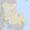 |
Municipal Boundary District of Saanich administrative area View the Metadata |
DWG | GDB | SHP | |
 |
Parcels Legally defined parcels View the Metadata |
DWG | GDB | SHP | |
 |
Property Lines Legally defined property boundaries View the Metadata |
DWG | GDB | SHP | |
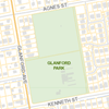 |
Parks Saanich municipal parks (municipal, community, neighbourhood, regional) View the Metadata |
DWG | GDB | SHP | |
 |
Sanitary Sewer A collection of features that convey wastewater View the Metadata |
DWG | GDB | SHP | |
 |
Storm Water A collection of features that receive surface runoff into the storm water collection system View the Metadata |
DWG |
GDB |
SHP |
|
 |
Streetlights Streetlight locations (steel standard, pole mount, post top, cluster,tunnel, double davit) View the Metadata |
CSV | DWG | GDB | SHP |
 |
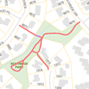
Streets Street centrelines with address ranges View the Metadata |
DWG | GDB | SHP | |
 |
Trails Maintained municipal pedestrian trails and walkways View the Metadata |
DWG | GDB | SHP | |
 |
Urban Containment Boundary Areas designated for urban development versus those intended to remain rural or agricultural |
DWG | GDB | SHP | |
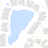 |
Waterbody Areas of significant water accumulation View the Metadata |
DWG | GDB | SHP | |
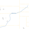 |
Watercourse Open channels of running water View the Metadata |
DWG | GDB | SHP | |
 |
Waterworks A collection of features that convey water through the distribution system View the Metadata |
DWG |
GDB |
SHP |
|
 |
Zoning Areas that comprise all land use zones View the Metadata |
DWG | GDB | SHP | |
Note: DWG AutoCAD 2018, GDB (Esri 11.1)