The How to Guide, Frequently Asked Questions and Help Videos have been updated for guidance.
Please contact Saanich’s Help Desk at help.desk@saanich.ca or 250-475-5448 if you have any questions.
Access Saanich public data through interactive maps with accessible and easy-to-use tools that enhance and support the community.
With SaanichMap you can:
- Launch the map viewer from a desktop computer, tablet or mobile device using any web browser.
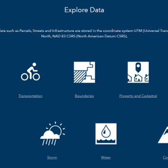
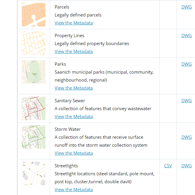
- Explore and query more than 100 map layers including heritage sites, underground services, land use, trails and aerial photography dating back to 1997.
- Display layers individually or by themes like Trails and Parks, Transportation, Emergency Response, Utilities.
- Mark-up and share maps, data and reports with others.
- Find locations by entering an address, intersection, street, facility, park or other attribute.
- Get detailed property information such as lot size and location, zoning, school district, tax levies, assessments.

