
A new SaanichMap is coming
A modern, streamlined version of SaanichMap is planned to launch in December 2026.
The new application will maintain a familiar look and feel, with many of the same tools and workflows residents use today. Updated how-to guides, frequently asked questions, and other support materials will be available to help you transition to the new SaanichMap.
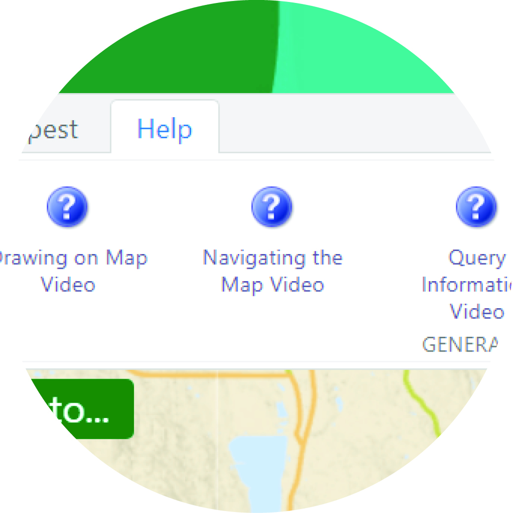
See How to Guide, Frequently Asked Questions and Help Videos for guidance.
Please contact gis@saanich.ca or 250-475-5448 if you have any questions.
Access Saanich public data through interactive maps with accessible and easy-to-use tools that enhance and support the community.
With SaanichMap you can:
- Launch the map viewer from a desktop computer, tablet or mobile device using any web browser.
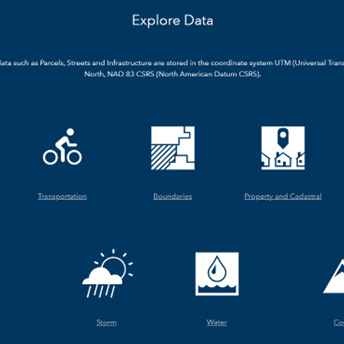
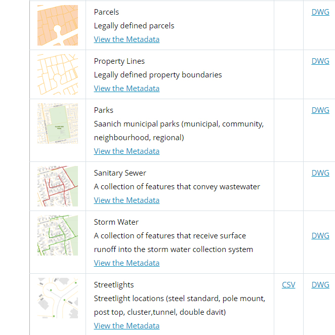
- Explore and query more than 100 map layers including heritage sites, underground services, land use, trails and aerial photography dating back to 1997.
- Display layers individually or by themes like Trails and Parks, Transportation, Emergency Response, Utilities.
- Mark-up and share maps, data and reports with others.
- Find locations by entering an address, intersection, street, facility, park or other attribute.
- Get detailed property information such as lot size and location, zoning, school district, tax levies, assessments.