The 2023 aerial photo is now available in SaanichMap
See the latest aerial photo at https://map.saanich.ca
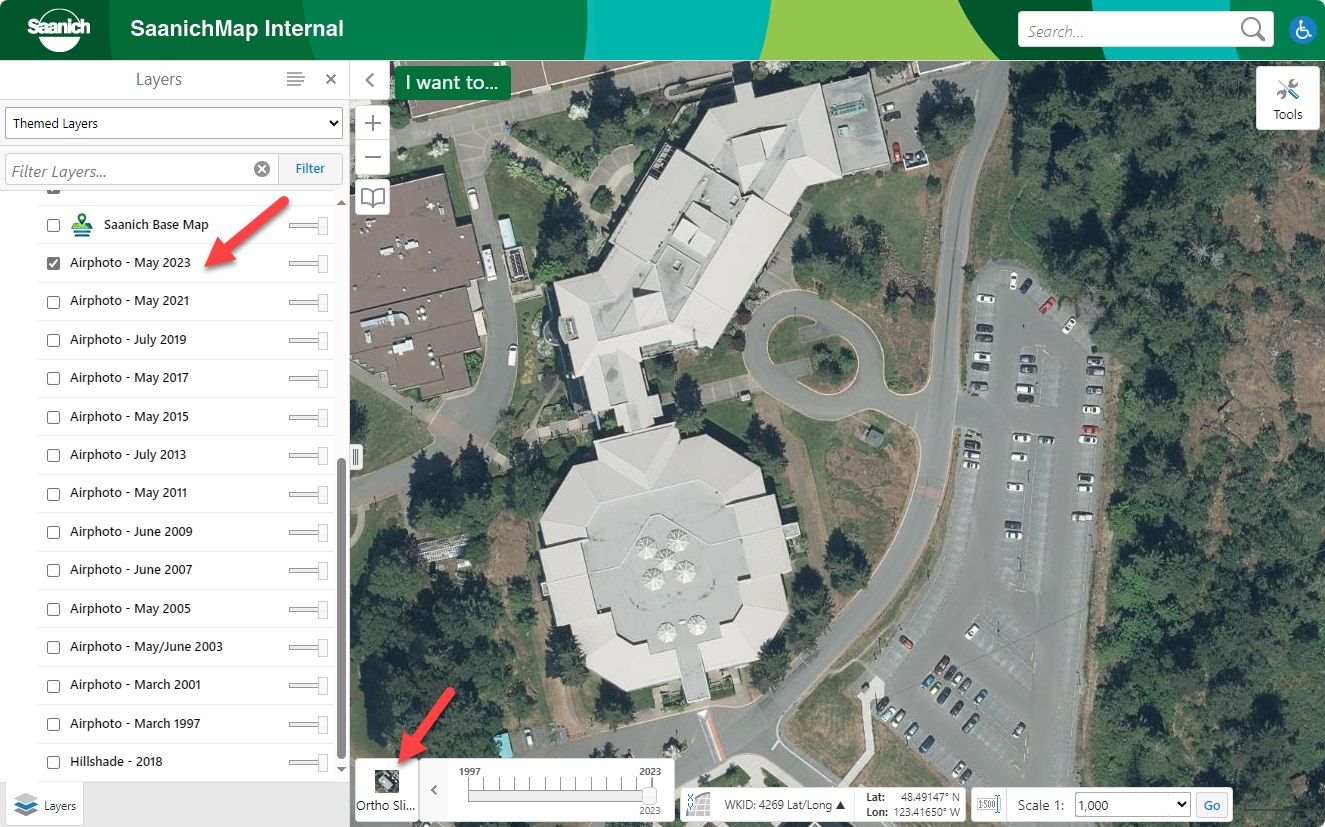
The 2023 aerial photo has 10 cm resolution and was flown in May 2023 as part of a collaborative effort between the CRD and member municipalities. Applying a greater overlap in the photo acquisition has resulted in minimizing lean for tall features such as buildings.
You can access all 13 historical aerial photos in SaanichMap by checking them on in the Layers list. You can toggle between years and adjust image transparency by using the slider bars to the right.
You can also use the Ortho Time Slider tool at the bottom of the map.to quickly transition between the 13 historical aerial photos dating back to 1997.